Pico do Papagaio
︎︎︎ hiking loop, 16km
2156m max alt.
22º02’36”S 44º38’30”W
22º02’36”S 44º38’30”W
Aug/22
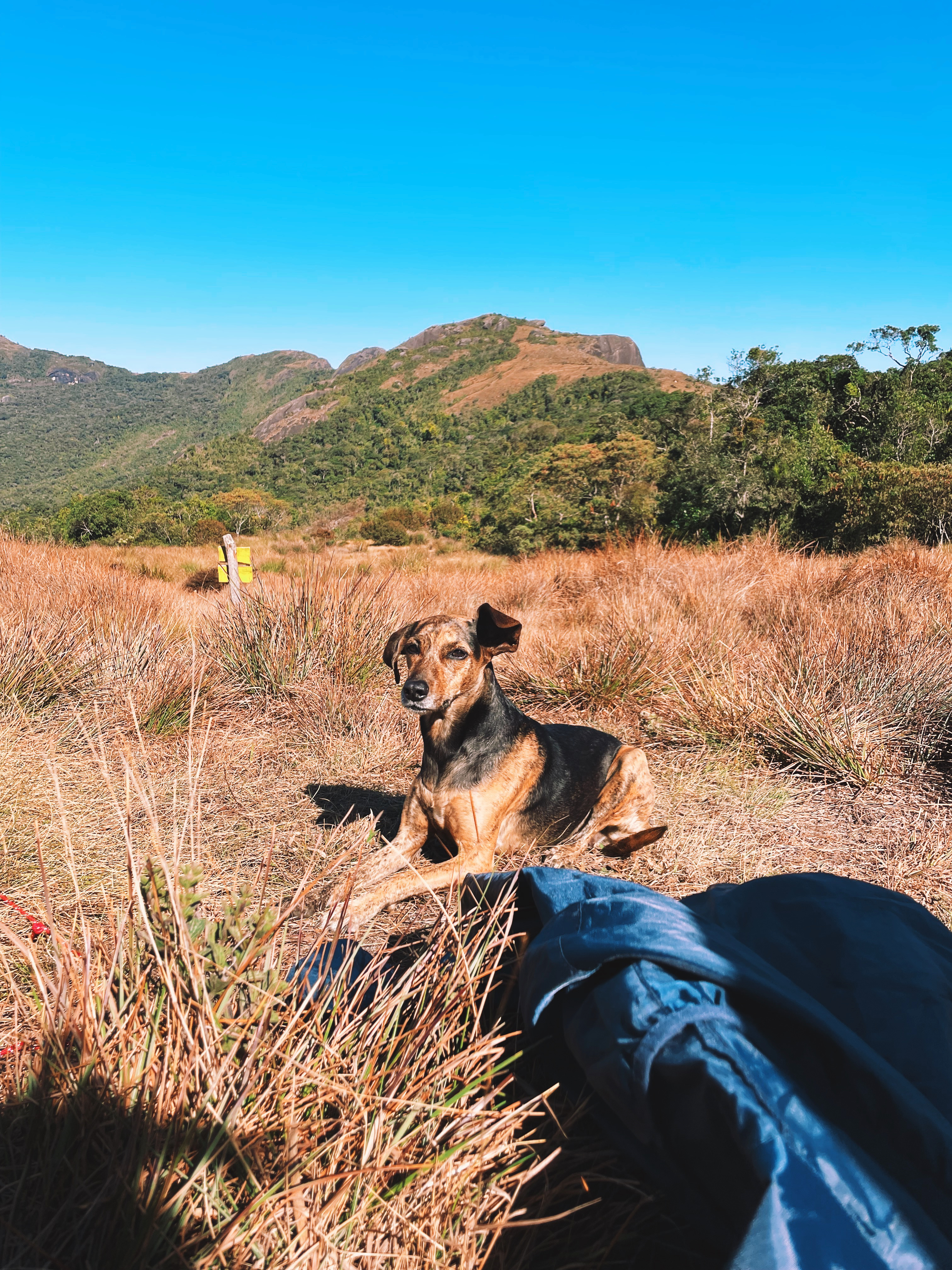
No actual parrots despite the name (”Parrot’s Peak”), yet offers multiple lush vegetation stripes. Ranging from tropical jungle to rocky altitude grassy fields, it is a fun, short hike with low technical difficulty and many gorgeous views.
︎︎︎ GPX file / A2 Printable maps
No actual parrots despite the name (”Parrot’s Peak”), yet offers multiple lush vegetation stripes. Ranging from tropical jungle to rocky altitude grassy fields, it is a fun, short hike with low technical difficulty and many gorgeous views.
︎︎︎ GPX file / A2 Printable maps

i.
The way up
Starting from Camping O Panorâmico, we Curabitur mauris mauris, pellentesque eu ultricies id, faucibus a augue. Quisque non euismod felis. Curabitur eu consequat neque. Aenean suscipit enim ex, nec luctus massa consectetur non.
8.00am
Started our ascent
10.00am
Got to the first camp
ii.
Double ascent to the peak
Starting from Campo Panorâmico, we Curabitur mauris mauris, pellentesque eu ultricies id, faucibus a augue. Quisque non euismod felis. Curabitur eu consequat neque. Aenean suscipit enim ex, nec luctus massa consectetur non.
4.30pm
Started our a
10.00am
Started our a
UPDATED 2022-OCT/20
Water source available
Low technical dificulty
Moderate physical demand
Low technical dificulty
Moderate physical demand
Thank you Mateus and Bia for showing the way there :)